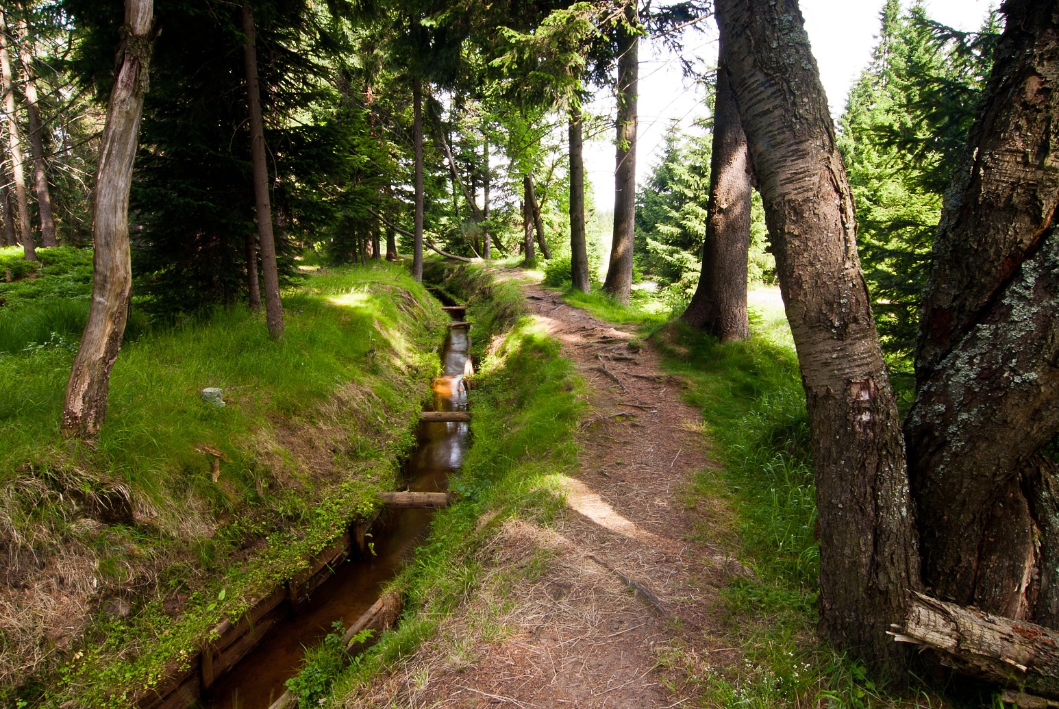
Representing a key water source for tin and iron mines and ore dressing works in the area around Horní Blatná, the still functional Blatenský vodní příkop (Horní Blatná water ditch) is an installation dating from 1540-1544, which at 13 km in length is the longest and most important man-made water ditch in the Czech part of the Ore Mountains. Numerous devices to control the flow of water including an inlet structure, 10 overflow spillways at the intersections with small rivers and streams, 25 bridges and culverts, 39 sand and gravel traps, and three bridges to facilitate walking along the canal can be found along the course of the ditch which represents an exceptional technical work illustrating the high standard of the water management in the 16th century.
The beginning of the Horní Blatná water ditch lies at an altitude of about 975 m ca. 1.5 km west of Boží Dar, where the water of the Černá stream is conveyed to an artificial leat. The ditch then crosses the municipalities of Myslivny and Ryžovna to Bludná, the first large centre of mining and dressing of tin and iron ores and, after by-passing the Blatenský vrch (hill), it approaches the major tin mines of Lorenz, Konrad and others in Horní Blatná. On its length, the Horní Blatná water ditch overcomes an elevation of 127 m which means that the average downhill grade is 1 m of height to 100 m of length. In reality, however, the downhill grade is much less, because almost 100 m of height occur in the last section of the water ditch in Horní Blatná, already outside the area of major ore deposits. In some parts, the Blatenský water ditch is up to 2 m wide and over 1 m deep. On both sides, up to two metre-high embankments are built.


