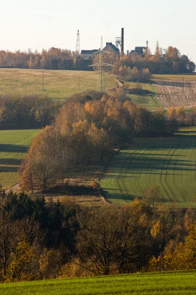
Hauptstollngang Stehender Lode
The main ore lode, the Hauptstollngang Stehender, 15 km long and up to 10 m wide, stretches from the Mulde River northeast of Freiberg, passing under the city, to the mining areas south of Freiberg. It connects the Himmelfahrt Fundgrube in the northeast with the historic centre of Freiberg and the Zug mining landscape in the southern mining district. The region’s first silver ore was assumed to have been found here in 1168 at a place where the ore lode came to the surface in the village of Christiansdorf. The first substantial mine drainage infrastructure in the silver mining landscapes of the Ore Mountains was the medieval adit Alter Tiefer Fürstenstolln completed in 1348 in the Freiberg Mining Landscape. The mouth of the most important and, at more than 40 km with its intersections, also the longest adit in Freiberg (Alter Tiefer Fürstenstolln) was created at the Hauptstollngang Stehender (lode) in the Freiberger Mulde valley and drained the Freiberg mines into the Roter Graben (ditch, 4.3.5-DE). Bought out by the Saxon sovereign princes in the late Middle Ages, the adit thus later bore the name of Fürstenstolln. The widely ramified, stepped adit ends in the Brand-Erbisdorf mining landscape in the southern Freiberg mining district.
A considerable number of waste heaps originating in the first mining period have been preserved along the surface ‘line of the lode’. The lode tract starts on Freiberg’s farmland with the Erasmus shaft’s heap, which has been divided up in keeping with the fields. It was here that the Tiefer Fürstenstolln (adit) once split from the Alter Fürstenstolln (adit) underground. The size of the heaps (small = medieval, middle = early modern, large = industrial) from the river up to ill and through the town of Freiberg documents the change of the mining technologies as well as the development of mining law from the 12th to the 20th century. The mouth of the Alter/Tiefer Fürstenstolln (adit) features masonry tracing back to the 18th century, part of a dry wing wall with a basket arch perched atop its vertical face with a severely weathered stone bearing the Saxon coat of arms. Made from sandstone, it is protected by a protruding gneiss slab. On the left face of the mouth is a large sandstone plaque marking the zero point for the Freiberg mining district’s sectional map, which was created between 1850 and 1852, and appended later on.


