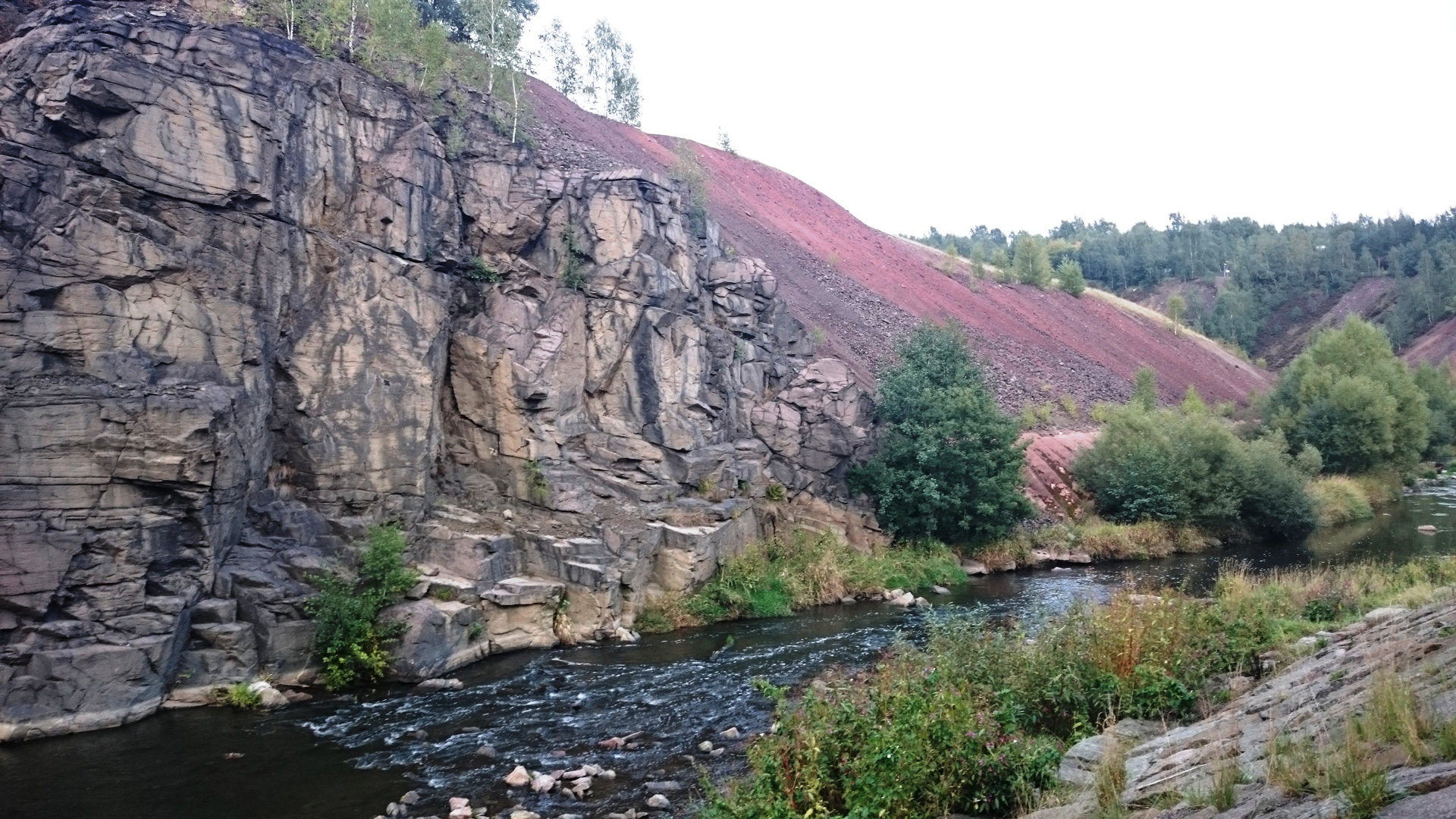
The Mulde River between the Muldenhütten smeltery in the south and the Gersdorf mining landscape in the north is mostly surrounded by an agricultural and forest landscape. Settlement and industrial structures are lining the river partly only at Muldenhütten, Halsbach, Conradsdorf, Tuttendorf, Halsbrücke, Rothenfurth, Großschirma and Nossen.
Between the 12th/13th century and the 20th century the Freiberger Mulde River functioned as a supply for water power of the Muldenhütten and Halsbrücke smeltery complexes and the near-river mines especially in the Gersdorf mining district. For this function dams were constructed in the late 18th century at Muldenhütten and at the Gersdorf mines. The Mulde river also functioned as a drainage system for the several adits of the mines in the neighbouring mining districts. It also had a function as a transportation route for wood from the upper parts of the Ore Mountains to the mines and smelteries (charcoal production) in the Freiberg Mining Area as well as a transportation route for the ore from the mines of the northern mining district to the smelting works at Halsbrücke (locks are located at the Altväter bridge at Rothenfurth).